Minnesota Valley State Recreation Area, near Rapids Lake Unit
I was in Carver, MN, for the afternoon, and I thought I would check out some of the area trails. If you are walking down the hill on Ash Street, or driving by on Main Street, you can see signage on top of the flood levy for the Minnesota Valley State Recreation Area, which is managed by the US Fish and Wildlife Service.
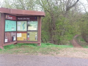
Trail Map at head of trail
Tell me you don’t want to see what is down that trail! It is pretty neat because the trail seemingly starts in the middle of the neighborhood.
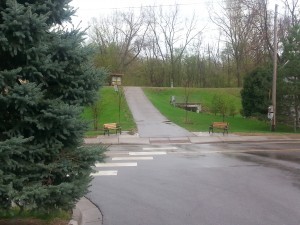
Carver city street looking towards trailhead
There are houses on both sides of me here, with the crosswalk crossing Main Street. No parking lot, no signs…it is almost like a private trail for local residents of Carver, right out their back door.
The signage is for the Rapids Lake Unit, but there are definitely conflicts between the boundary signs and the map. According to maps such as this one, downtown Carver is quite a distance from federal land, but the boundary signs appear almost immediately. I am not sure who manages the land that is outside of the Rapids Lake Unit, but I assume it is state land, and it is definitely public land, because there are signs that infer hunting is allowed in-season. So, depending on the season, use appropriate caution.
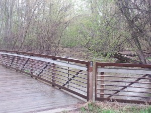 After the bridge, you can decide whether to turn right or proceed straight ahead, with both directions following the Carver Creek trail. For this adventure, I chose straight, because I figured it would get me to the Minnesota River. The trail was wide and straight, which isn’t exactly my favorite type, but it was great to be in the woods, listening to the frogs. Being in Carver, there wasn’t even any highway noise, just the occasional Harley cruising down Main Street. Very nice!
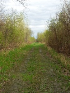
Carver Creek trail
After only about a half mile, the trail seems to end in a clearing underneath power lines, on the bank of the river. With the water so high, there was a ten foot drop down to the swirling river. I’m sure that in the heat of the summer, there is a bit of a beach there. I was disappointed the trail didn’t continue along the river, but it appeared today would be a pretty short walk.
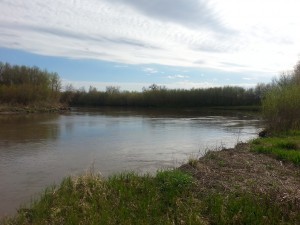
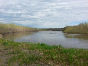
A ten-minute walk back, and I was in downtown Carver again. As you can see from the map I linked to above, the Minnesota Valley State Recreation Area has a whole lot to offer. I was disappointed to figure out when I checked the maps after my quick walk that I hadn’t really even gotten to explore any of it, as most of the hike took place outside of the federal lands. This is another place I will most definitely have to come back and check out this summer. There is even a campground with hike-in sites down near Belle Plaine.
Leave us a comment below if you have any personal experience with any of the other units of this extensive Recreation Area. I would love to hear where to focus our attention next time we are that far south west of the metro area.
Advertisement
Subscribe to our newsletter!
Don't miss an update


commenting closed